
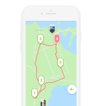
Ring-shaped 5-7 hour cycling route that starts in Palūšė. The route is mainly made up of asphalted roads, however some sections are gravel roads and forest roads.
Palūšė - Antalksnė. The route starts at Aukštaitija National Park Visitor Centre. Go left from the parking lot. Then, turn right after passing a shop. In the Pašakarvio Street, Šilinė village, the road makes a sharp left turn. Near the forest, the gravel road turns into a forest path. Go along this road towards Šakarva campsite. Keep going further, and after 50 m, you will reach asphalted road. Turn right, and pass over the Šakarva village. Shortly, you will reach a crossroad where you should take the right turn, towards Kirdeikiai. After 4.3 km in Kaukiškė village, you will see a resting place lot. After another 1.5 km from the Kaukiškė at a crossroad turn right to the village Antalksnė. There are three sculptures on a hill near the crossroad. After approximately 0.5 km you will reach Antalksnė.
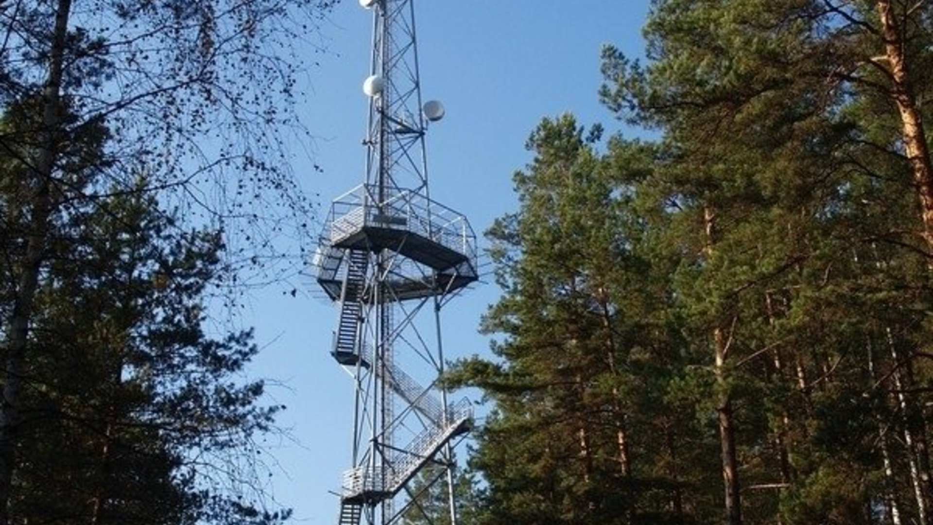
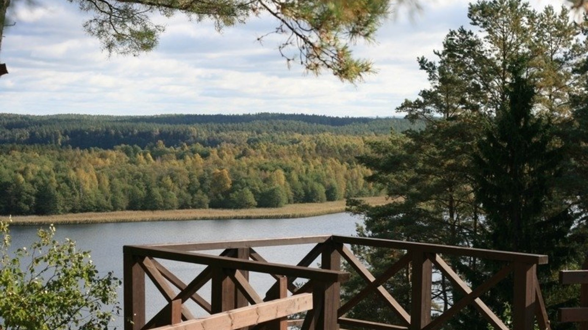
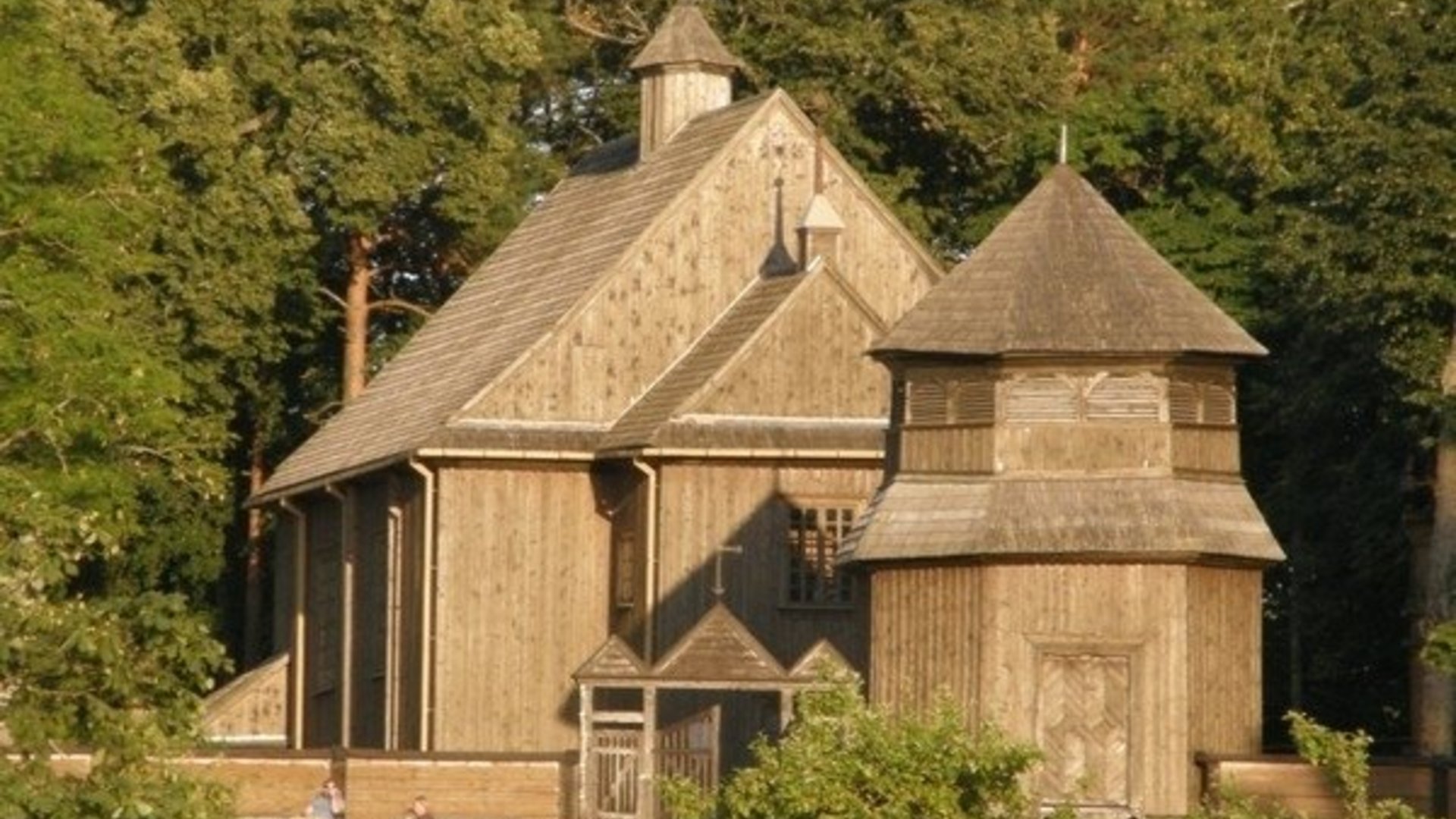
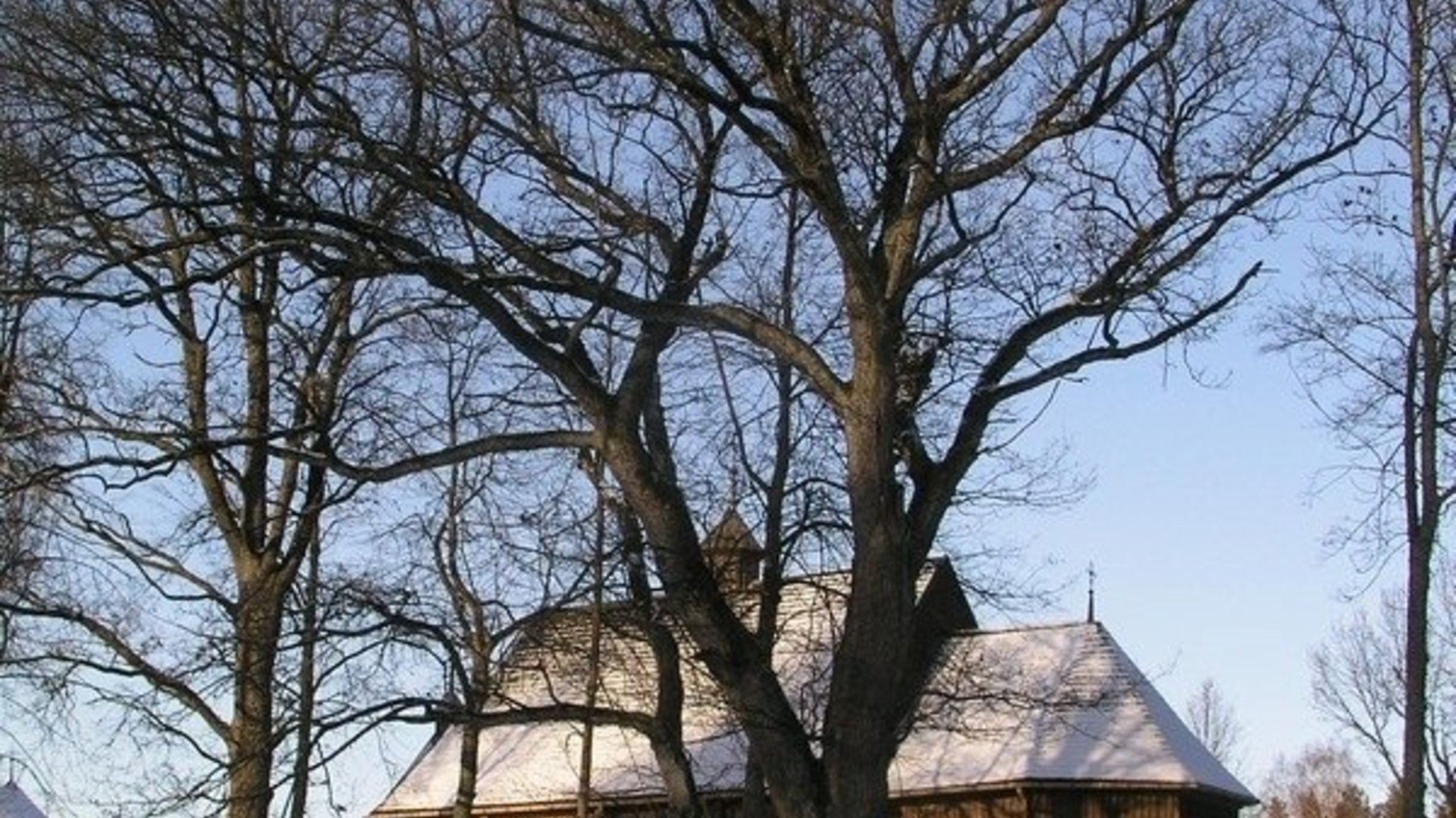
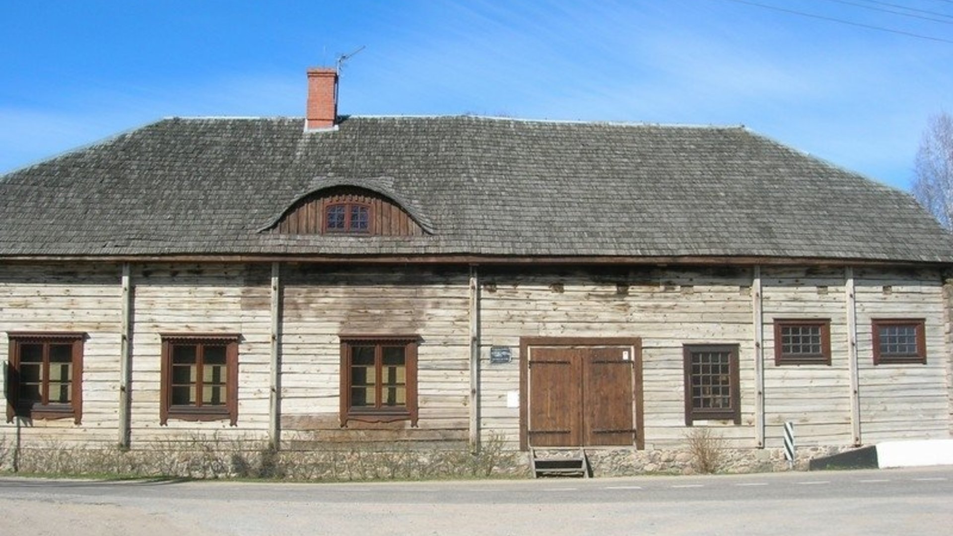
Antalksnė - Kirdeikiai. Turn right at the crossroad. After another 250 m, turn left and go to the village of Salos. At the crossroad turn left and after 1 km you will reach the village of Salos II. At the approaches of the village, when you see a barn at the right side of the road, turn right and go to a three-way crossroad located by the Linkmenas lake. Turn left, and after crossing the channel you will arrive at Ladakalnis. From this point, go down along the same path towards Ginučiai Mound in a northern direction. Turn right after reaching asphalted road. After 700 m, there is a resting place at the base of Ginučiai Mound. At the parking lot, you will see a field byway leading to the north-western direction. After approximately 400 m, it hits another byway. Turn right and after approaching asphalted road after 500 m, turn left. After another 0.5 km, you will arrive at Šiliniškės Observation Tower. From there return to Ginučiai village and take the main road until you reach Ginučiai watermill.
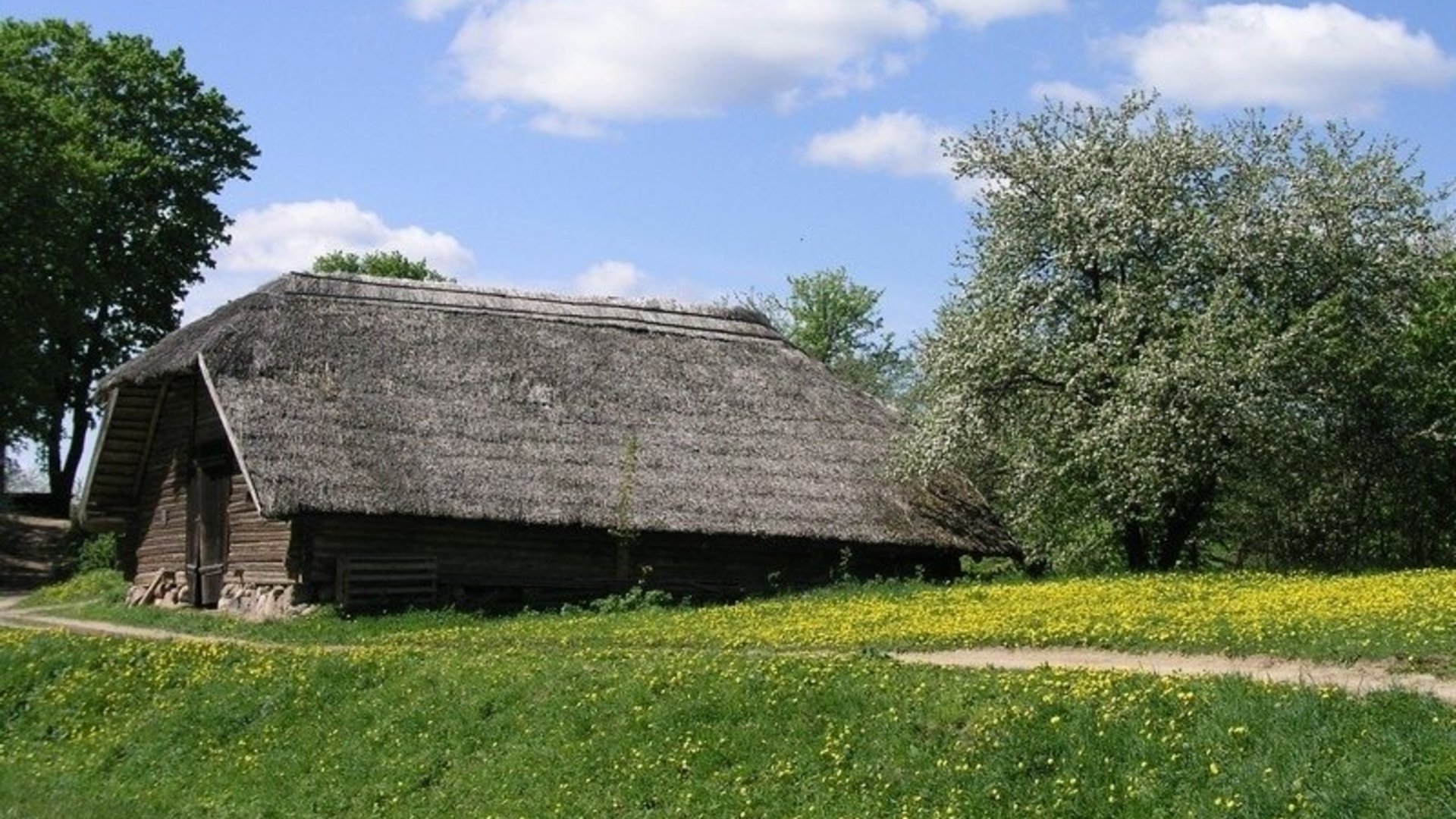
Ginučiai - Vaišniūnai. The road from Ginučiai to Trainiškis winds for about 4 km through the forest passing by Joskutis lake and picturesque coast shore of Baluošas lake. In Trainiškis, you can see the remains of an extremely old oak, which fell down during a storm in 2016. It was the oldest tree in the territory of the park. Then go along the main road to Vaišniūnai village.
Vaišniūnai - Palūšė. After passing through the village, turn right in the direction of Ignalina. After 4.6 km, you will go out of the forest. There will be a small byway on your right leading along the outer wood. After 0.5 km down this road, you will arrive at Gaveikėnai watermill. Go straight from the watermill through the village of Gaveikėnai. At the end of the village, go straight. On your right, you will see the forest, and farm buildings on the left. After 0.5km, there will be a clearing on your left. Immediately after this clearing you will see a forest road branching to the left. Take this road. After 0.5 km along this road you will reach asphalted road. Turn left. After 300 m, you will see a forest road branching to the right. Go along this road. After 300 m along this road, you will reach asphalted road. After crossing the road, turn right to the bicycle path. Asphalted bicycle path leads through the forest parallel to the main road, and ends in Palūšė.


Beveik visą laiką reikia važiuoti plentu - daug mašinų - su vaikais nepavaziuosi, žodžiu nieko gero.