
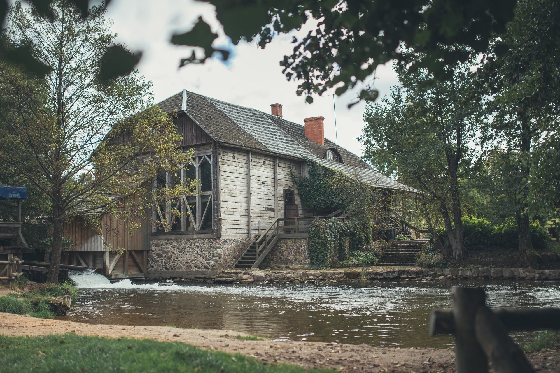
The route starts at the Ginučiai water mill. From the parking lot, turn left and follow the main road in a southerly direction for about 450 m. On the second road from the bus stop, turn left. The road immediately branches into two smaller ones. Keep right. Walk along this road for 2.2 km. On the right side of the road, after passing the marshy bay of Asėkas lake, 500 m later you will reach a four-way intersection. Keep right there. Walk along the forest road for 700 m and turn right onto a road that branches off at an acute angle. Travel along it in a southwesterly direction for about 500 m and you will return to the main road. Keep right. The road curves around the Puziniškis hillfort on the right. After 100 m you will pass a homestead on the right, and after another 150 m you will reach the bridge and the Puziniškis hillfort resting place. After crossing the bridge, keep left, go along the lake in a southeast direction. After 400 m the road makes a sharp bend and climbs up the hill. After another 400 m you will reach the village of Salų. There you will reach a three-way intersection, walk towards the village of Salų II. You will reach it in about 1 km. At the beginning of the village of Salų II, after passing the barn on the right, turn right. Follow the country road to the forest and through it to the T-shaped intersection. Turn left there. Travel along the shore of Lake Linkmenas to the channel connecting Lakes Alksnaitis and Linkmenas. A bridge has been built over the channel for pedestrians and cyclists. A pedestrian and cyclist path has been installed from the channel to the top of Ladakalnis. When you reach the first fork in the trail, turn left, and the second fork in the trail to the right. The ascent is steep. The same gravel path leads from Ladakalnis to Ginučiai Mound. It starts to the left of the wooden observation platform and winds through the forest all the way to the Kimbariškė–Ginučiai road. After crossing the asphalt road, continue along the gravel path towards Ginučiai Mound. After going down the stairs, turn left and walk along the slope of the mountain through the parking lot. At the end of it, a small field road begins. Walk along it for about 300 m until you reach another road. Turn right and travel another 0.5 km until you reach the asphalt road. Turn left and after 0.5 km you will reach the Šiliniškės observation tower. From the tower, return towards the village of Ginučiai. Walk through the village along the main street to the watermill where you started your hike.
Information updated on 2026-02-24


Reviews