
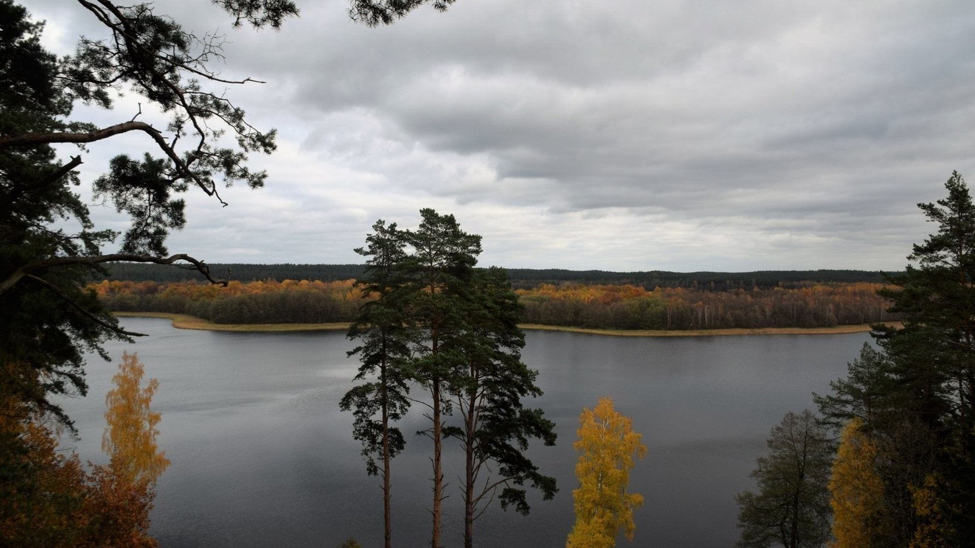
A challenging one-day hiking route starting in Palūšė and ending in Ginučiai. The majority of the route consists of forest paths, tracks and a gravel road.
The route starts at the Aukštaitija National Park Visitor Center. From the parking lot, go right, towards Ignalina. After 400 m on the left side of the road, you will reach Palūšė Beach. Travel towards the forest. After crossing the bridge, keep left and walk along the path along Lūšiai Lake to Meironai village. Along the way, you can see wooden roof poles. When you reach the asphalt road, continue along it through Meironai village. At the end of the village, the asphalt road ends and a gravel road begins. 200 m from the end of the asphalt road, a small road branches off to the left to the Meironai campsite. If you travel straight on for about 1.2 km, there will be a rest area by Asalnai Lake on the left side of the road. Another 500 m from the rest area, you will see a sign towards Asalnai Pine Forest. After walking straight for another 1 km from this sign, you will find yourself at a crossroads, where you turn left. There are about 1.3 km left until Puziniškis. You will exit the forest into a clearing where the village of Puziniškis is located. At the very end of the street, an oak tree grows on a cliff. From the oak tree, return to the intersection at the beginning of the village and turn left onto the road leading north. After 200 m, it branches, keep to the left. The road leads along a path, and after 400 m, it suddenly turns right into the forest. After about 1 km, you will reach the Puziniškis hillfort, which is on the right side of the road. There is a rest area nearby. From there, you can already see the bridge. After crossing it, keep left, after 1 km you will reach the village of Salų. When you reach the three-way intersection, keep right, in the direction of the village of Salų II. Go towards the village of Salų II, turning off the main gravel road. You will reach the village in about 1 km. At the beginning of the village of Salai II, after passing the barn on the right, turn right. Walk along the field path to the forest and through it to the T-shaped intersection. Turn left there. Walk along the foot of Lake Linkmenas to the stream connecting Lakes Alksnaitis and Linkmenas. A bridge has been built over the stream for pedestrians and cyclists. A pedestrian and cyclist path winds from the stream to the top of Ladakalnis. When you reach the first fork in the path, turn left, and when you reach the second fork, turn left – right along the path up the mountain. The ascent is steep. The same gravel path leads from Ladakalnis to Ginučiai mound. It starts to the left of the wooden viewing platform and winds through the forest all the way to the Kimbariškė–Ginučiai road. After crossing the asphalt road, continue along the path towards Ginučiai mound. From the mound, go down the wooden steps to the Ginučiai, Papiliakalnė mound parking lot. When you reach the asphalt road, keep to the left. Follow the road until Ginučiai village. When you reach the village, you will come to a T-shaped intersection. Turn right and travel along the main street of the village. You will reach the water mill in approximately 600 m. If you want to reach the Almajs campsite, walk back 200 m from the mill. At the first three-way intersection, turn right. From the asphalt road, you will cross onto a gravel road. At the last residential building you will reach the intersection again, keep to the left. Walking along the shore of Lake Almajas, you will reach the campsite. Here you can rest after your trip or stay overnight.
The route was prepared by Aukštaitija National Park.
Information updated 2026-02-24


Reviews