
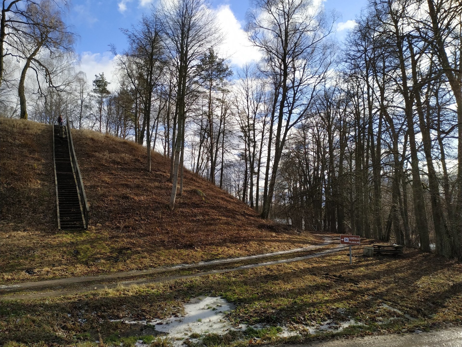
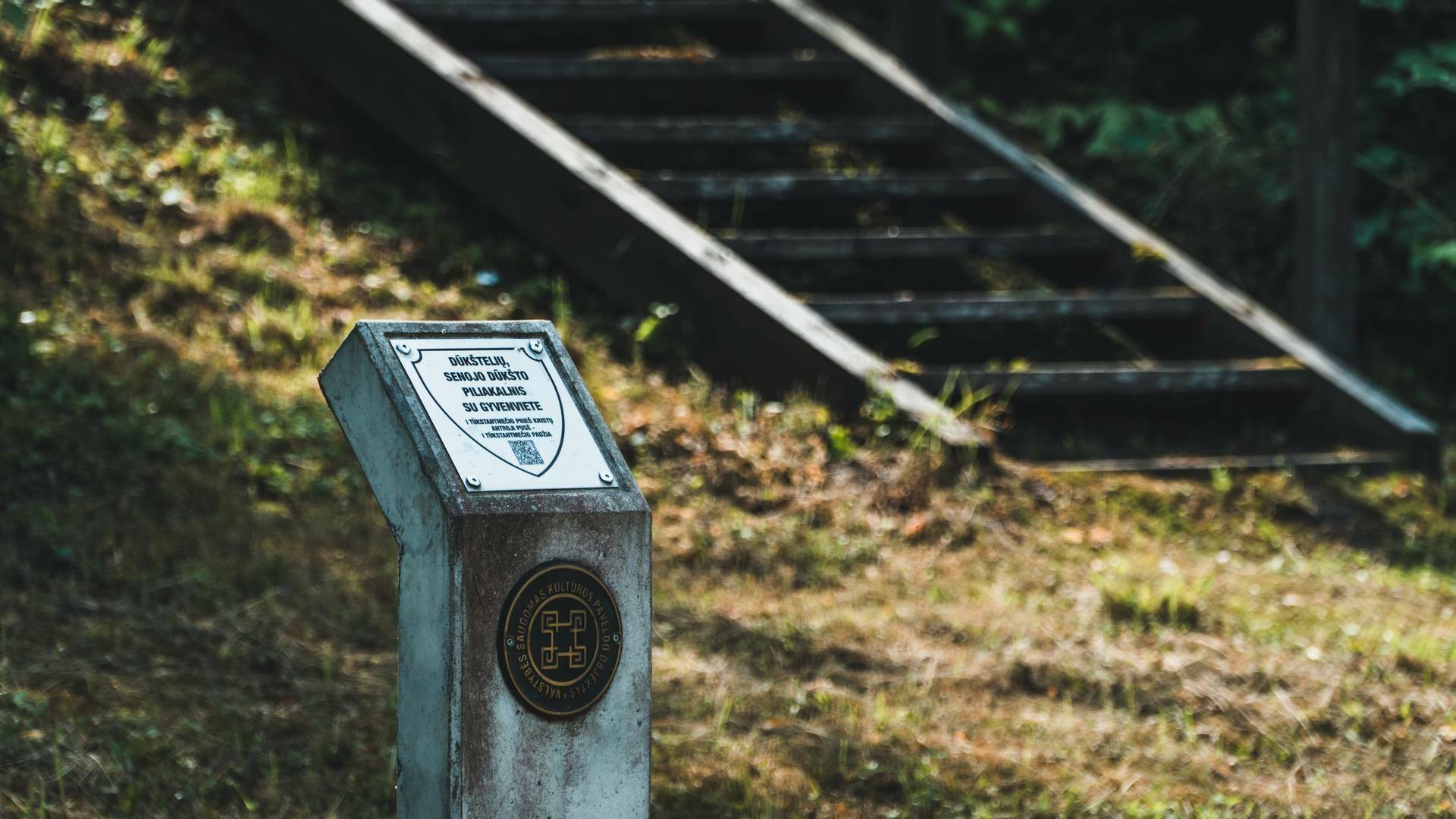
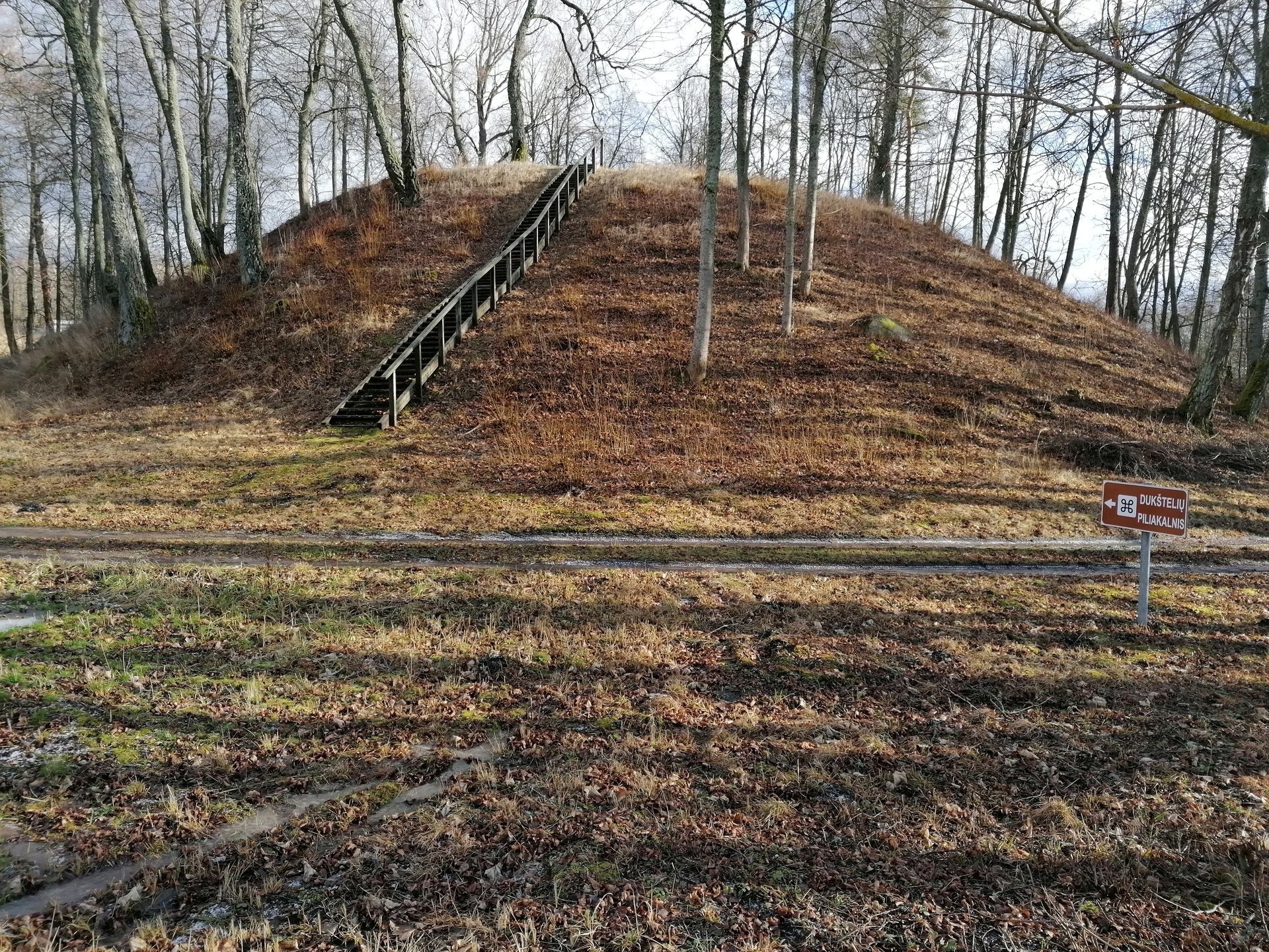
Dūkšteliai mound, Putrakalnis – a mound (unique object MC code 33310) in the territory of Ignalina district municipality, northwest of Dūkšteliai, Dūkštas eldership. It is accessible from highway 102 Vilnius–Švenčionys–Zarasai by turning left westward before Lake Parsvėtas towards Salakas, before Lake Samanis by walking 100 m to the left in a southerly direction through a wet swamp – it is ahead.
There are remains of an old settlement at the southeastern and southwestern foot of the mound. In 1958, the Institute of History conducted reconnaissance research on the mound; in 1966, an area of 8 square meters at the southern foot of the mound was investigated by the head Vytautas Daugudis. Fragments of molded streaked, roughened and smoothed ceramics, iron slag, charred remains of bell-shaped grains, and burnt stone pavements were found in a cultural layer 0.5–1.1 m thick.
The mound dates back to the 1st millennium. On December 9, 2009, it was entered into the Register of Cultural Properties at the meeting of the Immovable Cultural Heritage Assessment Council of the Department of Cultural Heritage.
Information updated 2025-12-12

Reviews