
A circular two-day water route starting in Palūšė.
Note! There is no water connection between Lakes Dringis and Baluošas, so water vehicles must be transported about 1.5 km along an asphalt road.
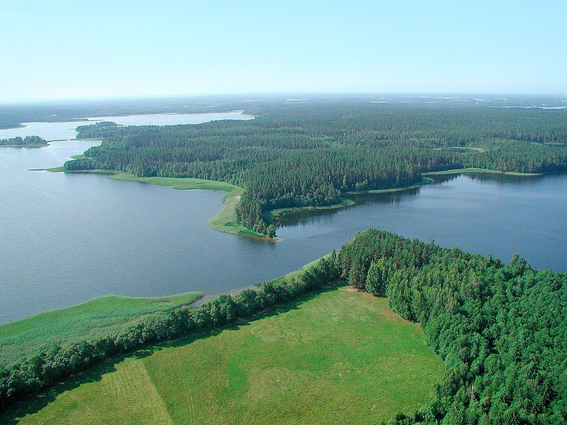
Palūšė–Vaišniūnai. After leaving Palūšė boathouse, keep to the right, to the northern shore of Lake Lūšiai. While sailing along the coast, you will be able to see wooden sculptures placed along the path leading towards Meironai. Approximately 2 km further on, you will see the village of Meironai on the northern shore. Before the village ends, you will reach a stream on the right, flowing through the village. Sail into it. After a few hundred meters, you will sail into Lake Dringykštius. Turn left at the island and follow the stream in a northerly direction. Once you have sailed into Lake Dringis, keep to the north. On the northern shore of the lake, you will see the village of Vaišniūnai, travel towards it. Before Vaišniūnai, turn left, keep to the west. Soon you will enter Juodakumpis Bay. Once you enter it, turn right. On the northern shore, by the jetty, is the Vaišniūnai campsite – your destination.
Vaišniūnai–Vaidžiūškės. From the southeastern bay of Lake Baluošas, sail in a northwesterly direction. You will reach Ilgasalė. There is a small lake in it, which you can enter by swimming in a stream. Continue sailing in a westerly direction, keeping to the left. You will reach the village of Vaidžiūškės.
Vaidžiūškės–Ginučiai. At the village of Vaidžiūškės you will enter Baluošykštis through a channel. Further along the Skriogžlė stream, which flows out of the southwestern corner of the lake, you will reach Lake Srovinaitis. Swim west towards the village of Ginučiai.
Ginučiai–Palūšė. At the Ginučiai mill, transfer water vehicles, continue along the Srovės stream. At the confluence, turn right in a northerly direction and 200 m to the lake, ford upstream along the Almajas stream. You will find the campsite on the eastern shore of Lake Almajas, it is recommended to stay overnight here. From the campsite, travel down the Almajas (Srovės) river, downstream. You will reach Lake Asėkas, where you keep to the right. The Asėkas stream flows out on the southwestern shore of the lake. You will reach Lake Linkmenas with it. There is a landing site on its western shore, from which you can easily reach Ladakalnis on foot. On the northern shore of the lake, there is a landing site near the Papiliakalnė hillfort in Ginučiai. From this site, sail in a south-southeasterly direction. While traveling along the strait between Lakes Linkmenas and Asalnykštės, you can stop at a rest area located near the Puziniškis hillfort. Once you reach the lake, stop at the village of Puziniškis and look at the oak tree growing on the cliff. Travel through the strait to Lake Asalnai, keeping to the southeast. Once you reach Lake Lūšiai, keep to the left, traveling east. You will return to Palūšė.
Information updated on 2026-02-24


Reviews