
Circular Two-Day Cycling Route Starting in Palūšė
The route consists of various road types – asphalt, gravel, forest and meadow paths.
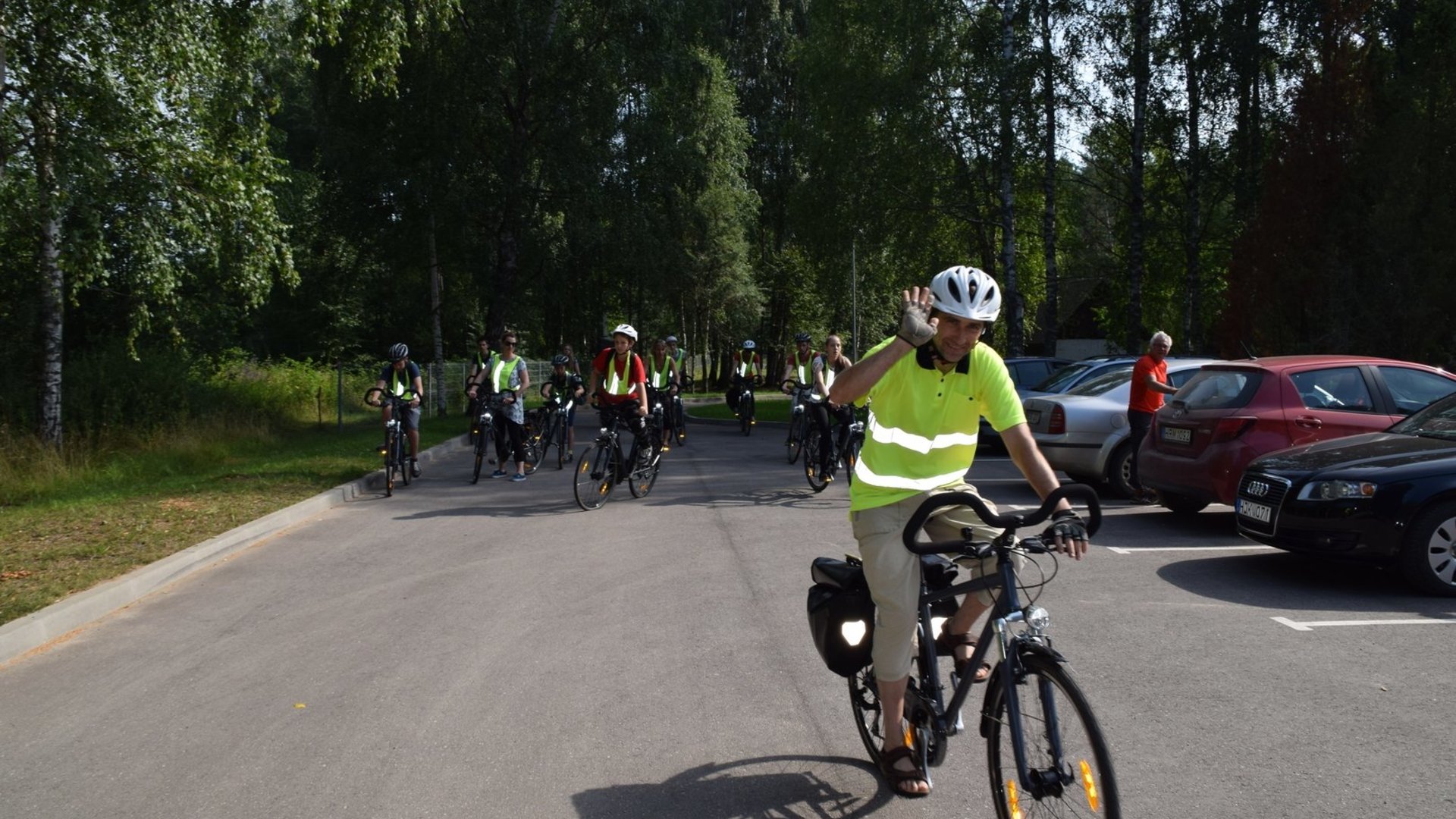
Palūšė–Antalksnė. The route starts at the Aukštaitija National Park Visitor Centre. From the parking lot, turn left. After passing the shop, turn right. On Pašakarvio Street the asphalt surface soon ends. Continue on the gravel road for about 2.5 km. Near the village of Šilinė, the road makes a sharp left turn. At the forest edge, the gravel road turns into a forest path. Follow it to the Šakarva campsite. Continue further and after 50 m you will reach asphalt. Turn right and ride towards the village of Šakarva. Soon you will reach a junction – turn right towards Kirdeikiai. After 4.3 km, in Kaukiškė, there is a rest area by the road. After another 1.5 km from Kaukiškė, turn right towards the village of Antalksnė. At the junction on the hill stand three sculptures. After about 0.5 km you will reach Antalksnė.
Antalksnė–Ginučiai. At the village junction, turn right. After 250 m turn left and ride towards the village of Salos. At the next junction, turn left towards Salos II village. At the beginning of the village, after passing a barn on the right-hand side of the road, turn right and ride to a three-way junction near Lake Linkmenas. Turn left and after crossing the channel between the lakes you will reach Ladakalnis Hill. From there descend along the same path northwards towards the Ginučiai hillfort. Upon reaching the asphalt road, turn right. After 700 m, at the foot of the Ginučiai hillfort, there is a rest area. From the Ginučiai–Papiliakalnė hillfort to the village of Ginučiai, continue along the asphalt road. At the three-way junction, turn right. After 600 m you will reach the water mill.
Ginučiai–Kirdeikiai–Stripeikiai. After visiting the Ginučiai mill, return along the same road to the last junction. Go straight at the junction. After about 1.2 km, on the right side of the road, you will find a rest area and the Šiliniškiai Observation Tower. Continue along the asphalt road to a three-way junction and turn right. After 400 m there is another junction – follow the main road and turn right again towards the town of Kirdeikiai. In the town you can visit the church. After leaving the town, you will see a sign pointing to the Ancient Beekeeping Museum. Turn right and continue north along a gravel road. Upon entering the forest, after about 150 m a forest path branches off to the right, leading to the Pakasas water mill. After visiting the mill, return to the main road, turn right and continue to the village of Stripeikiai.
Stripeikiai–Tauragnai. At the village crossroads, turn right. After passing through Stripeikiai, on the left-hand side on a hill you will see the Ancient Beekeeping Museum. From the museum, return to the Stripeikiai crossroads and continue straight ahead. After 3.5 km you will reach Sėlė. In Sėlė, go straight along Parko Street for 0.5 km until you reach the main road. At the junction, keep right. After about 2.3 km on the asphalt road, a road branches off to the right towards Taurapilis. At the junction there is a sign „Taurapilis 2 km“. After 900 m, the gravel road makes a sharp right turn. The next 900 m is mostly downhill, leading to another junction with a sign to Taurapilis. Turn left here. About 200 m remain to the foot of Taurapilis Hill. Return from Taurapilis along the same road for 1.1 km to the sharp left bend. Here a field road branches off to the right in a north-western direction. After about 1 km you will reach another junction – turn right. After another 1 km heading west, you will pass a rural tourism homestead on the left and the Tauragnai hillfort. After another 0.5 km you will reach asphalt. Turn right onto the asphalt road, and after 600 m turn right again. After crossing the isthmus between the lakes, climb the hill and enter the town of Tauragnai.
Tauragnai–Daunoriai. At the junction on the hill in Tauragnai, turn right towards Daunoriai. After 1 km the asphalt ends. After about 4.5 km on the gravel road, a road sign indicates that the Mokas Stone is located 200 m to the left in the forest. After another 1.5 km you will pass the village of Šeimatis. After 2.5 km you will reach a junction – turn right towards Daunoriai.
Daunoriai–Vaišniūnai. Upon reaching the village, turn right. In the village you can visit the church. At the next three-way junction, turn right again. Continue along the gravel road for about 5.5 km. Near the village of Vaišnoriškė, the road forks. The village lies to the left, across the river. After visiting it, return back and at the junction keep left. After 1.5 km you will reach the ethnographic village of Strazdai. After Strazdai, cross the bridge over the Būka River. About 200 m after the bridge, at the junction turn right towards Šuminai. In the village, at the junction turn left. Where the road branches, keep right. About 3 km from Šuminai you will reach asphalt. At the junction, turn left. After 600 m you will arrive in Vaišniūnai.
Vaišniūnai–Palūšė. After passing through the village, turn right towards Ignalina. After about 4.6 km from the crossroads, the forest ends. A small asphalt road runs to the right along the forest edge. After about 0.5 km you will reach the Gaveikėnai mill. From the mill, continue straight through the village of Gaveikėnai. At the end of the village, where the asphalt road makes a sharp left turn, continue straight ahead. The forest begins on the right, farm buildings on the left. After 0.5 km there will be a clearing on the left. Immediately after it, a forest path branches off to the left – turn there. After about 0.5 km on the forest path, you will reach an asphalt road. Turn left. After 300 m, a forest path branches off to the right – take it. After 300 m the path meets another asphalt road. Cross it and immediately turn right onto the cycle path. The asphalt cycle path runs through the forest parallel to the main road and ends in Palūšė.
Route prepared by Aukštaitija National Park.
Information updated on 2026-02-24


Reviews