
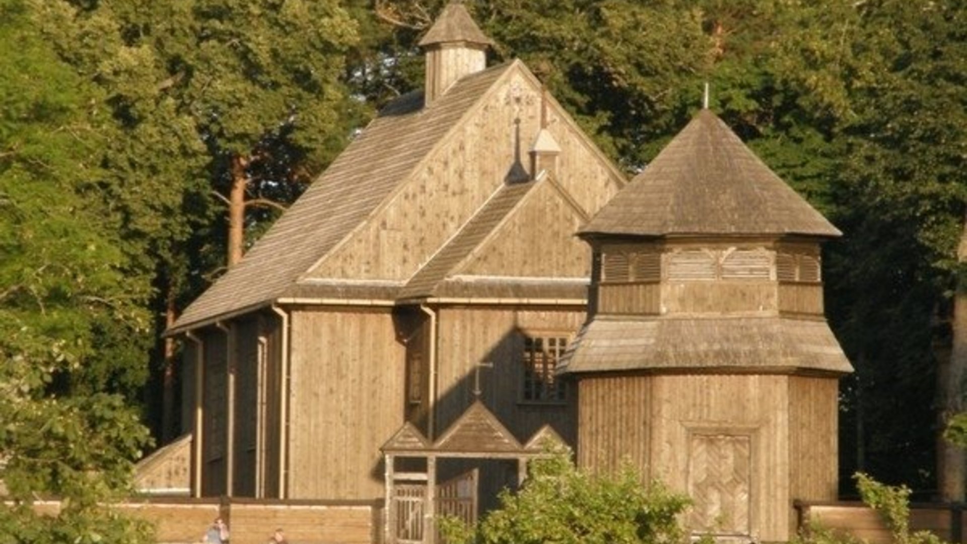
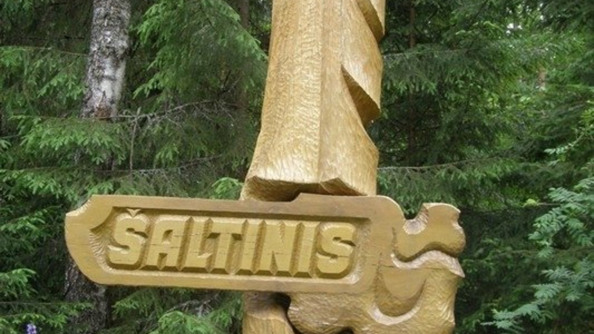
The most popular tourist route, adapted for cyclists. The route is designed to avoid extremely busy roads as much as possible and where there are several alternatives, more interesting roads were chosen. The route leads through the most picturesque areas of the park, visiting the most interesting tourist attractions: Ladakalnis, Ginučiai papiliakalnė hillfort, Šiliniškės observation tower, Salos II ethnographic village, Ginučiai water mill, Medžiukalnis spring, etc.
Circular 5–7 hour cycling route starting in Palūšė.
Palūšė–Antalksnė. The route starts at the Aukštaitija National Park Visitor Center. From the parking lot, turn left. After passing the shop, turn right. The asphalt surface soon ends on Pašakarvios Street. Drive along the gravel road for about 2.5 km. At the village of Šilinė, the road makes a sharp left turn. At the forest, the gravel road turns into a forest path. Drive along it to the Šakarva campsite. Drive further and after 50 m you will come to the asphalt. Turn right, drive to the village of Šakarva. Soon you will reach the intersection, turn right there, towards Kirdeikiai. After 4.3 km in Kaukiškė, there is a rest area by the road. After 1.5 km from Kaukiškė, at the intersection, turn right to the village of Antalksnė. At the intersection, there are three sculptures on the hill. After about 0.5 km, you will reach Antalksnė.
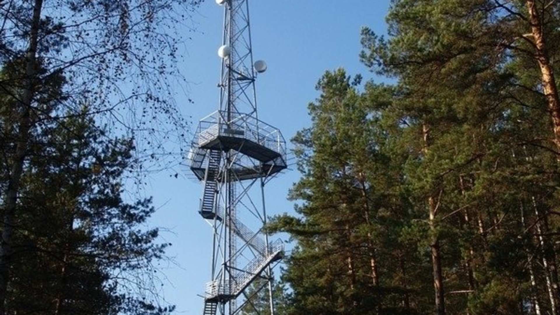
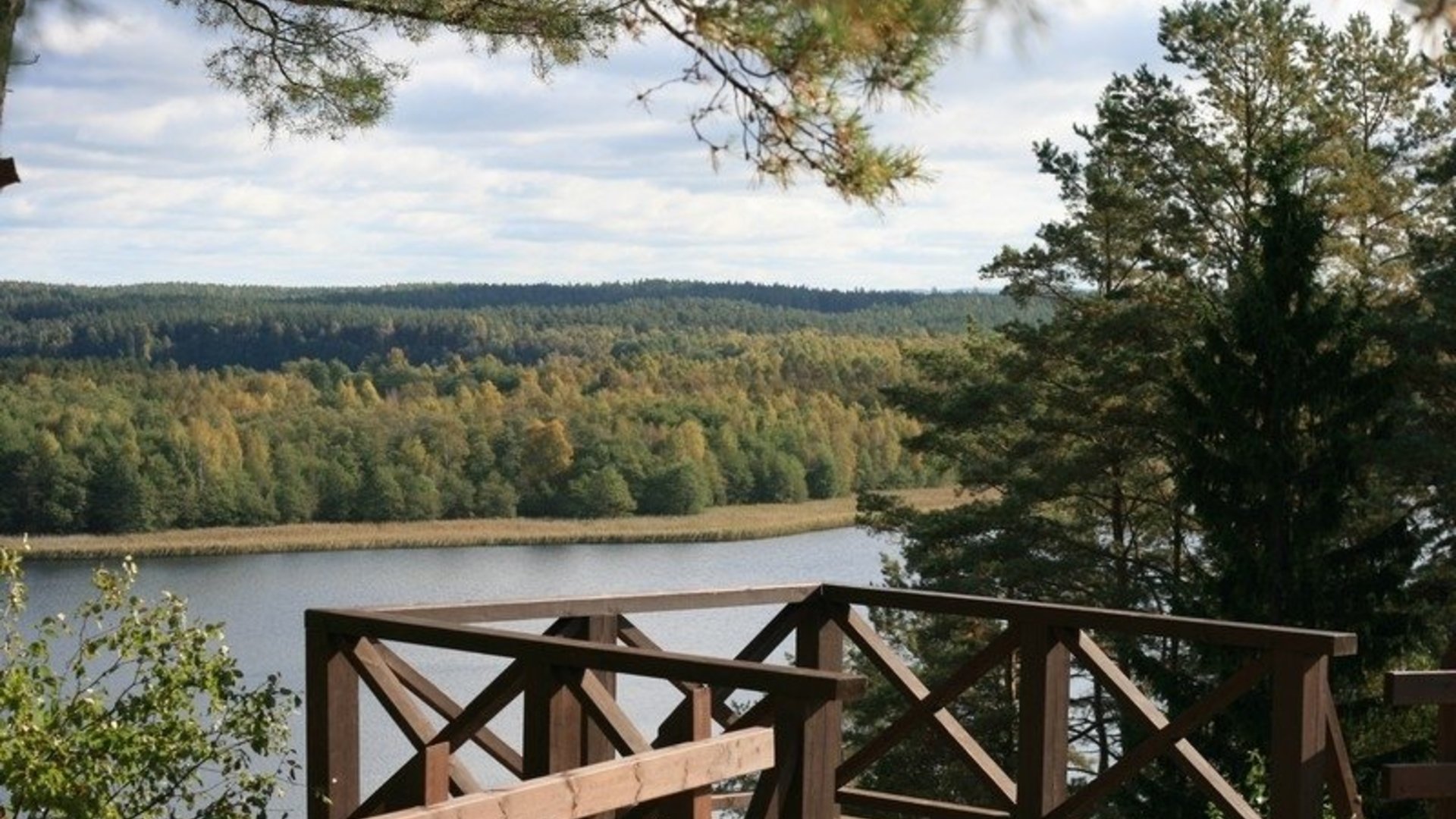
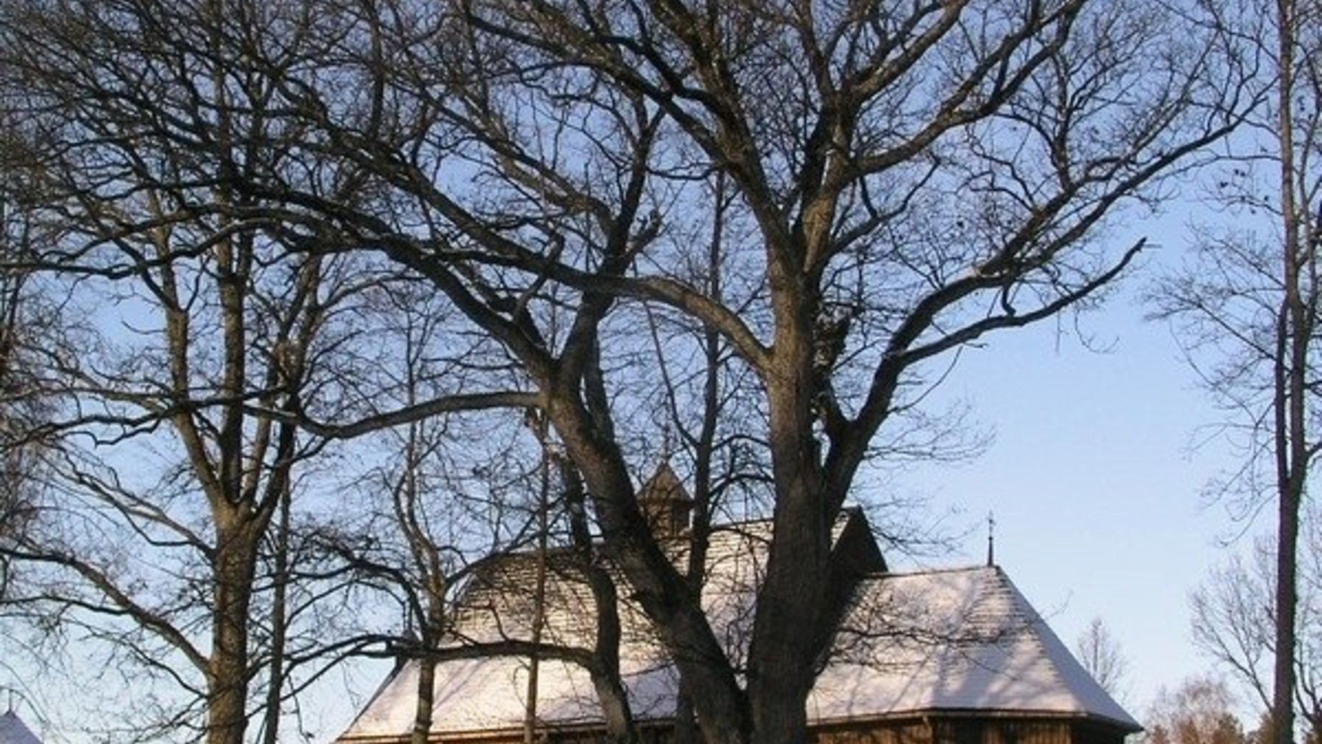
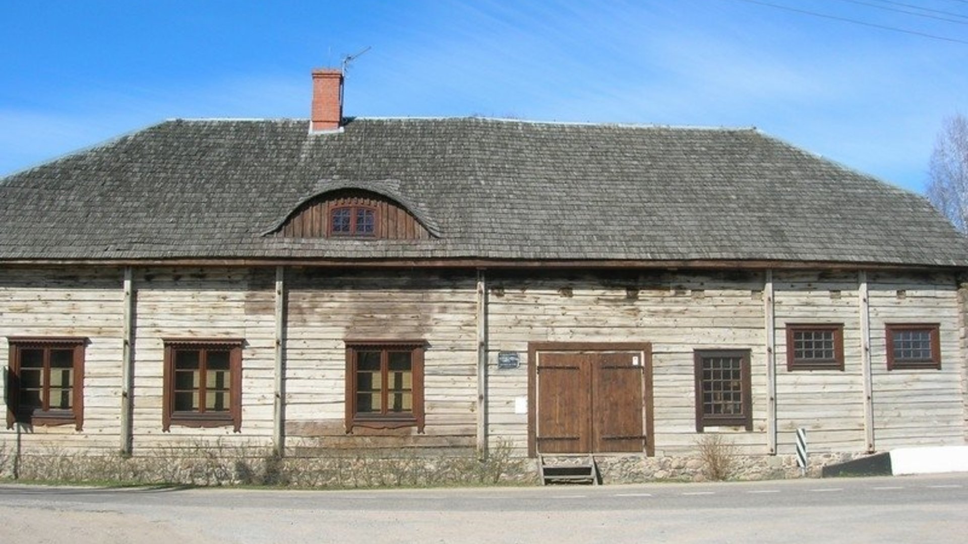
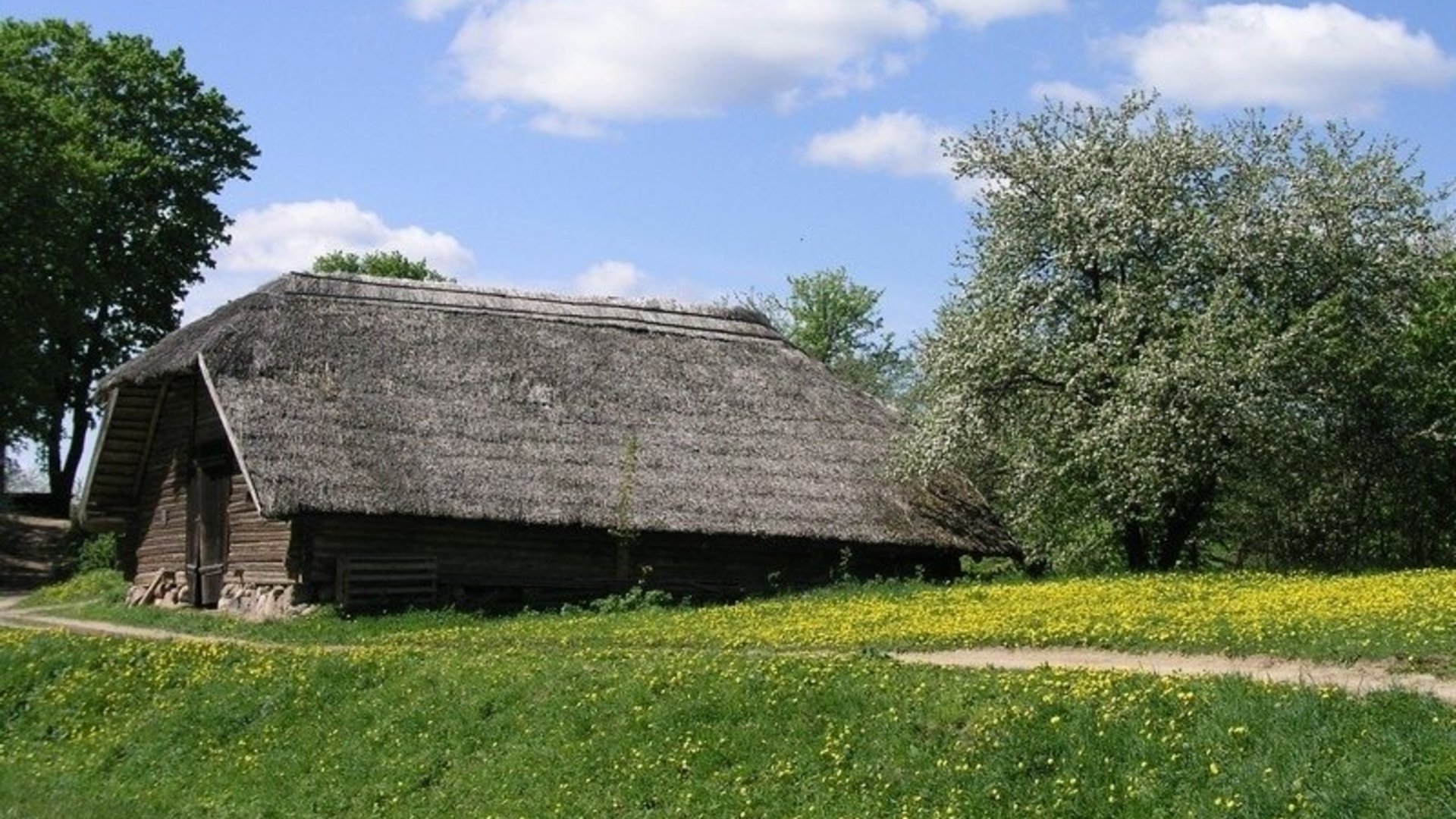
Antalksnė–Ginučiai. At the village intersection, turn right. After another 250 m, turn left and drive towards the village of Salų. When you reach the intersection, turn left and drive towards the village of Salų II. At the beginning of the village, after passing the barn on the right side of the road, turn right and drive to the three-way intersection near Lake Linkmenas. Turn left and after passing the lake channel, you will reach Ladakalnis. From there, go down the same path in a northerly direction towards the Ginučiai mound. When you reach the asphalt, turn right. After 700 m, there is a rest area at the foot of the Ginučiai mound. From here, a field road leads northwest. After about 400 m, it connects to another road. Turn right and after about 500 m, when you reach the asphalt road, turn left. After 0.5 km you will reach the Šiliniškės observation tower. From here, return to the village of Ginučiai and follow the main road to the Ginučiai water mill.
Ginučiai–Vaišniūnai. From Ginučiai mill to Trainiškis village, the road winds for 4 km past Lake Joskutis and along the picturesque banks of Baluošas. In Trainiškis village, you can visit the fallen, but still impressive Trainiškis oak tree. Continue along the main road to Vaišniūnai village.
Vaišniūnai–Palūšė. After passing the village, turn right, towards Ignalina. After driving about 4.6 km from the crossroads, the forest ends. A small asphalt road leads to the right in the forest. After driving about 0.5 km, you will reach the Gaveikėnai mill. From the mill, drive straight through the Gaveikėnai village. At the end of the village, where the asphalt road makes a sharp left turn, drive straight. The forest begins on the right, and farm buildings on the left. After 0.5 km, there will be a clearing on the left. Immediately behind it, a forest road branches off to the left, which you need to turn onto. After driving about 0.5 km along the forest road, you will come to the asphalt road. Turn left. After 300 m, a forest road branches off to the right, which you need to take. After 300 m, the road backs up to the asphalt road. After crossing the road, immediately turn right onto the bicycle path. The paved bicycle path runs through the forest parallel to the main road and ends in Palūšė.
The route was prepared by Aukštaitija National Park.
Information updated 2026-02-24


Beveik visą laiką reikia važiuoti plentu - daug mašinų - su vaikais nepavaziuosi, žodžiu nieko gero.